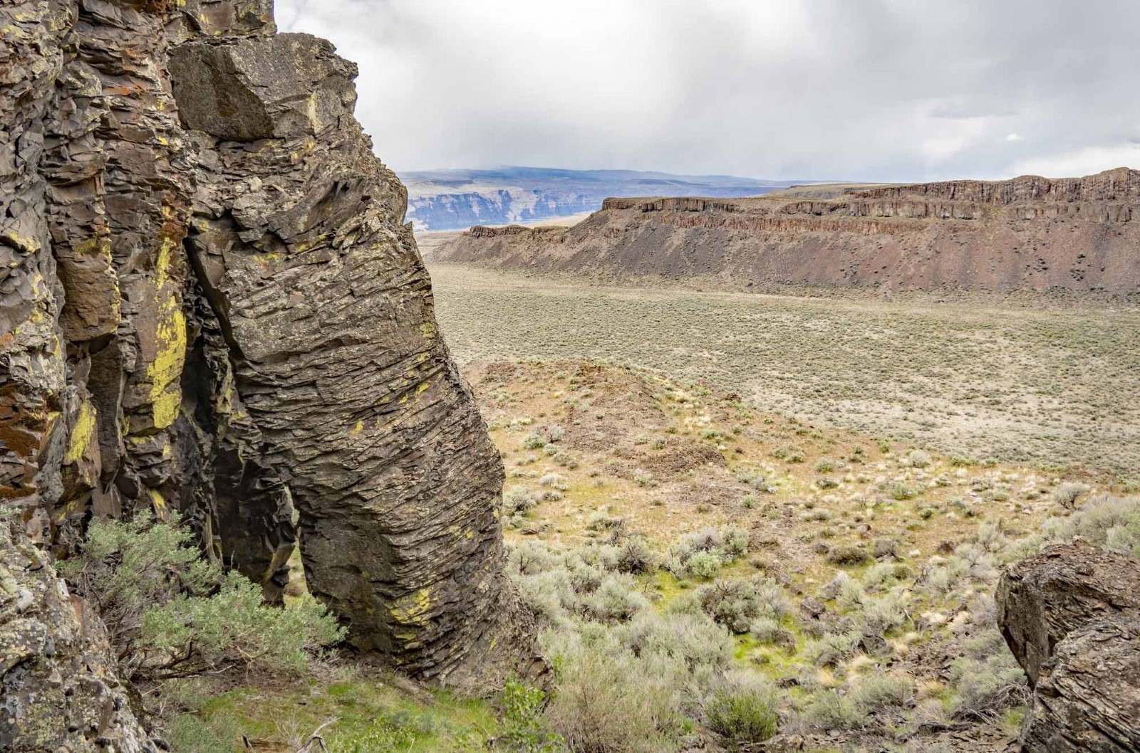
Model Event at Frenchman Spring

Flags will be set by Thursday evening and remain in place through Saturday. You are welcome on the model course any time Friday during daylight if you print your own map. Some maps will be available in a bin at the location from 8:00am-4:00pm on Friday and 7:00am-3:00pm on Saturday. See the full schedule.
Map & Course Information
The Frenchman Spring map is located North of Vantage Rd. Use this area to familiarize yourself with the terrain and features you’ll see at all the venues this weekend. The relatively flat area with small cliffs, rocky features and various densities of sagebrush is very similar to the terrain at all three competition venues.
The model map is available in both 1:10,000 and 1:7,500 scale on the same Letter size page.
Getting There
Parking is on the side of Vantage Rd - please pull off as far as possible and park close together. There is a small gravel lot (~3 cars) and a gate located at the pin. This is the location marked as finish on the map.
Only park on the road near here if you are on the model map. Do not park at this location for the Friday event. The shuttle will NOT pick up or drop off at this location.
Address / Coordinates:
Vantage Rd SW, 3.5 miles West of I-90. (47.023678,-119.996137)
From I-90 Eastbound (From Vantage/Seattle):
- Take Exit 143, East Silica Rd SW
- Turn left (North) on East Silica Rd SW, Pass under I-90
- In 0.8 miles, turn left (West) on Vantage Rd SW
- Watch for orienteering parking signs in about 2.7 miles
From I-90 Westbound (From Quincy/Spokane):
- Take Exit 143, East Silica Rd SW
- Turn right (North) on East Silica Rd SW
- In 0.8 miles, turn left (West) on Vantage Rd SW
- Watch for orienteering parking signs in about 2.7 miles